Mapping the Midwest
A new discovery of a vast country in America
.jpg)
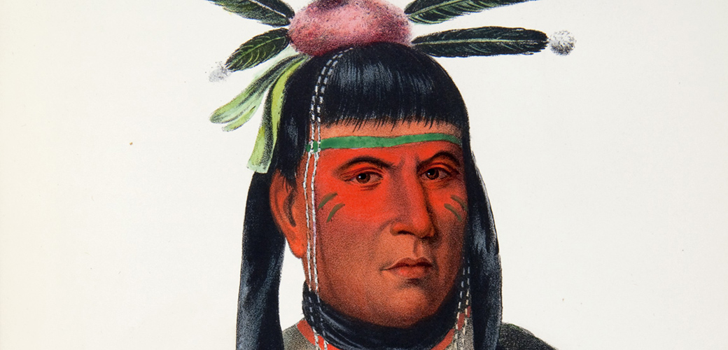
The Franciscan missionary Louis Hennepin (1626-ca. 1701) recorded his 1675 journey through the Midwest in a travel narrative that was first published in France in 1683. Though many scholars doubt the truth and accuracy of some details in Hennepin’s account it remains one of the most important records of early encounters between American Indians and Europeans in the Midwest.
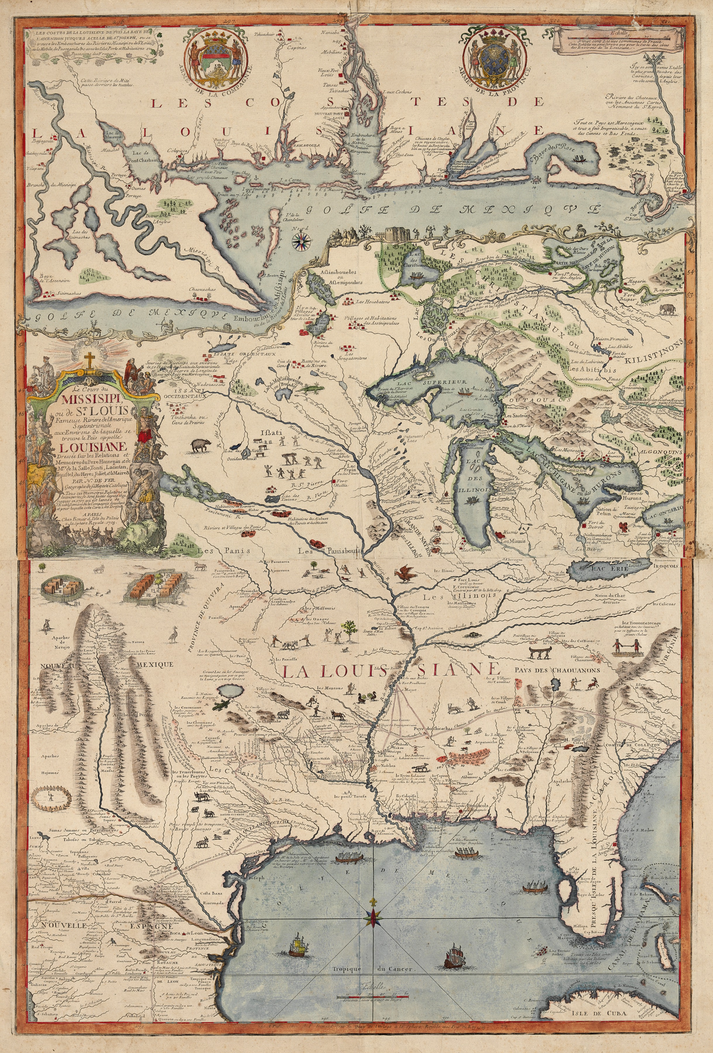
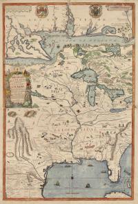
Le Cours de Missisipi, ou de St. Louis
This early French map of the Mississippi Basin highlights not only the waterways of the region but also the distribution of Indian nations throughout the area from James Bay to Cuba and from the headwaters of the Rio Grande to Lake Ontario. Far from depicting an unsettled and empty land, the map reveals the diverse Indian political and cultural world in the Midwest.
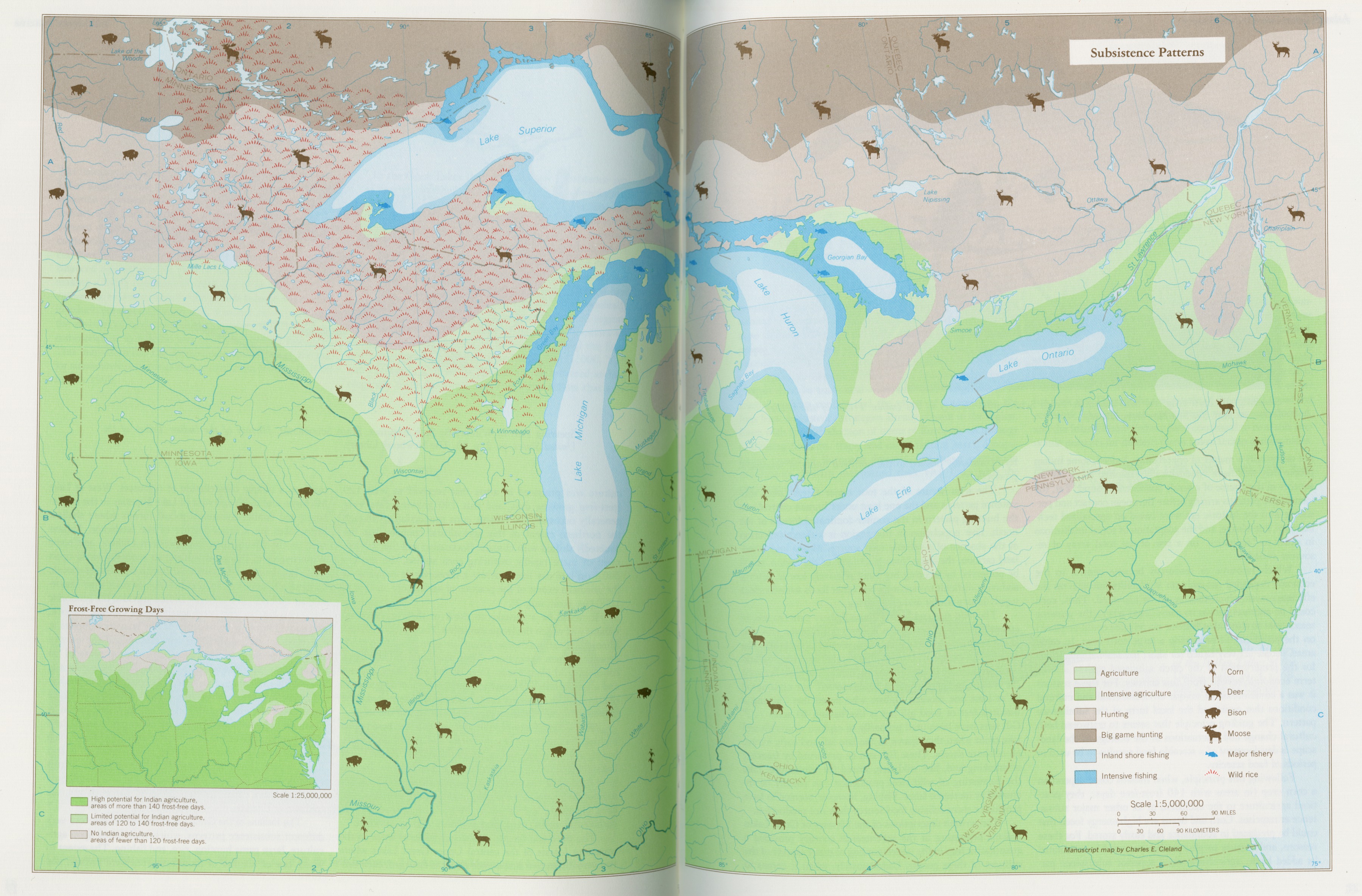
Atlas of Great Lakes Indian history
Helen Tanner’s 1987 landmark Atlas of Great Lakes Indian History was based on years of research in the Newberry’s archives and in the Native communities of the region.
_thumb.jpg)
.jpg)